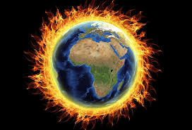
 Scientists studying climate change have been trying to explain the cold temperatures in the lower latitudinal areas the last few years. It is winter right now. This indicates the weather is going to be cold, as it should be. However, the cold snaps have been slowly creeping further southward in recent past years.
How could this be? Global warming, by definition, means the world is getting warmer at an increasing pace, right? Well, this is true. However, the way in which is warmed has a direct effect on how and where the cold (and hot) is felt.
Could this get any more confusing? Let’s look at this: The polar ice caps are getting warmer. This increase in temperature at the poles then makes the jet stream more unpredictable. The extreme cold temps at the poles used to make the jet stream – think of it as strong underwater currents, but in the air – act as a barrier. The jet stream then would keep the artic blasts corraled up toward the polar regions of the globe. Now, those polar temps are increasing. This means the jet stream – the current – is not as forceful as it once was. So the extremely frigid air can dip down to lower latitudes than before.
This research was outlined in a recent article in the New York Times. Research by the Potsdam Institute for Climate Impact Research in Germany looked at much of the weather and climate change data for Europe and northern Asian areas. These weakened jet stream winds are what researchers think is working with assorted zones of high pressures which could push the colder temps further southward.
This weak jet stream allowing polar blasts to collide with high pressures are creating explosive weather like that seen on the east of the US this week. The bombastic storms are wreaking havoc with storms, flooding and freezing subzero temperatures.


